Workshop on assessing the Research Priorities for Tropical Forest Monitoring sucessfully completed
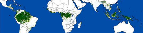
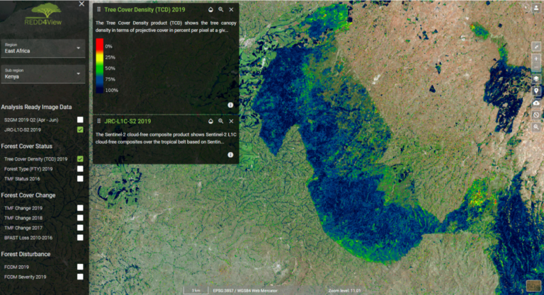
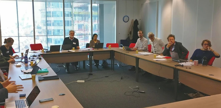
An online workshop on assessing the Research Priorities for Tropical Forest Monitoring in the context of the REDDCopernicus project was organized on 14th & 15th June 2021. The objectives were…